
Middlesex County Neighbors Sources for One Block
For a block search, start with the address and the legal municipality rather than a broad name search. The county GIS resources can place a parcel in its street context. The assessment record can supply the owner of record, situs, tax mailing address, district, block, lot, and qualifier where shown. Recorded deeds add a dated transfer and legal description. Public voter fields, historical directories, newspapers, and collection materials can add limited context, but each has a different time frame and privacy rule. The result should be a documented block trail, not a claim that every nearby person is identified.
| Source | What It Shows About a Block | Access Coverage |
|---|---|---|
| Middlesex County GIS and Open Data | Parcel shapes, roads, public map layers, and adjacency | County page links current applications and data; live layer labels vary |
| Assessment search | Owner, situs and mailing address, district, block, lot, value, and classification | County-linked district search; municipal offices handle corrections |
| County Clerk Registry | Recorded transfers, parties, legal descriptions, and related land documents | Online dates vary; older books need the search room or archival route |
| NJ Voter Information Portal and Board of Elections | Limited lawful registration information and status context | Public interface or custodian route; protected information remains withheld |
| Directories, newspapers, and local collections | Dated occupants, businesses, nearby entries, notices, photographs, and house history | Rutgers, libraries, archives, and societies; coverage is incomplete and collection specific |
Owners and present occupants are not interchangeable. A nearby tax mailing address may be a correspondence destination, and a directory can be decades old. Keep the document date, the parcel identifier, and the precise field that supports any conclusion about the block.
Map Middlesex County Neighbors From Parcel to Deed
The county's GIS page supports a parcel-first method: locate the known street or parcel, identify adjoining geometry, and carry the municipality, block, and lot into the assessment and deed systems. The research did not verify the current viewer's exact search labels, identify controls, buffer tools, export tools, or complete layer list. Use only the labels visible on the live map when you search, and do not assume that it can produce a radius list or a complete block export.
- Normalize the known address, retaining the original street form, municipality, unit if relevant, and source date.
- Open the county GIS or current Open Data application, navigate to the street segment, and select the known parcel and adjacent parcel shapes where the live viewer exposes them.
- Record each nearby municipality, block, lot, and map or layer date. If the map does not identify an owner, use the block and lot in the assessment search.
- Compare the assessment owner and any mailing address with the County Clerk's recorded deed, party name, date, and legal description. Preserve the recorded date rather than assuming the newest name is current.
- Use a dated directory, newspaper, or historical collection only to add the time layer. Apply the two-anchor rule before connecting a person across sources.
For an entire named street rather than the immediate block, the Middlesex County By Street guide follows the broader address and recorded-document chain.
Middlesex County Assessment Fields for a Block
The county-linked assessment gateway asks the user to select a database, county, district, search format, output format, and list length before entering criteria. Location, owner name, block, lot, and qualifier are the visible criteria. Select the correct municipal tax district before treating a result as a block match. A qualifier can distinguish a condominium or other multiple-interest record, while block and lot are the stronger bridge from assessment data to GIS and recorded deeds.
A typical result may show owner, situs location, mailing address, district, block, lot, qualifier, assessed land, improvements, total assessment, tax year, and property classification. The live research capture did not expose a populated parcel card, so confirm which fields appear in the chosen output format. The portal's Daniel's Law warning and no-warranty notice are reminders that an assessment screen is not proof of a boundary, value, or present occupancy.
Note. Keep the district, query, selected output, and access date with a block record because portal configuration can change.
Middlesex County Neighbors at a Historic Address
A historic block needs dated sources. The 1855 New Brunswick directory can be searched by street and address, then paired with maps, deeds, and newspaper notices. Its Albany and Water Street examples show why old house numbers, street sides, entrances, and landmark names should be preserved instead of silently changed to match a later parcel. A historic directory entry gains strength when the address, spouse or household connection, occupation, and nearby entry recur in more than one source.
The Highland Park Historical Society collection page describes photographs, postcards, scrapbooks, programs, yearbooks, and memoirs. These are valuable for historic block research because they may preserve streets or houses that never appear in a current online index, but they are collection holdings rather than a public membership list.
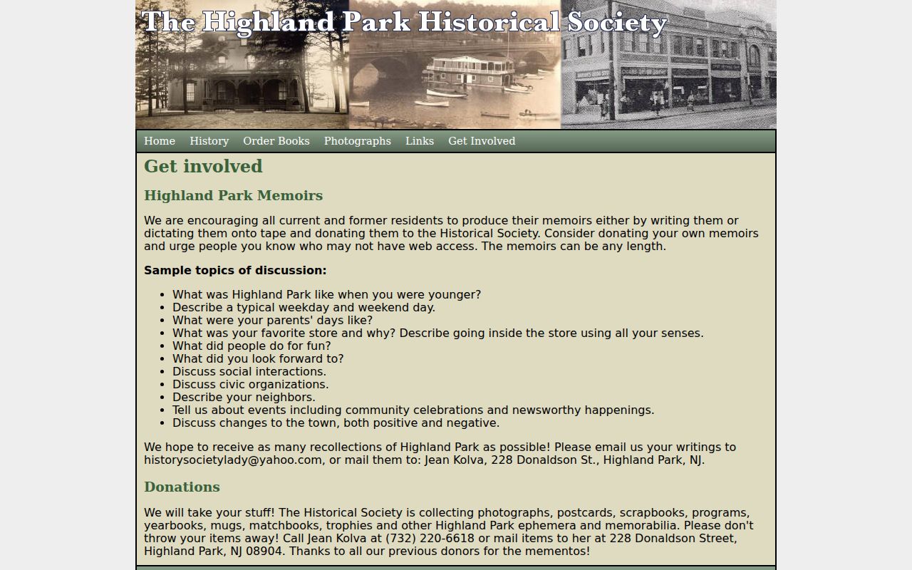
Ask the society about a public finding aid, source date, access conditions, and image rights before relying on a photograph or recollection as an identity anchor.
Community and Historical Contacts for Middlesex County Neighbors
Community organizations can explain a block's history or point to public meeting material, but the research did not find a countywide public directory of block associations, watches, congregations, or civic-club members. Treat a published contact, meeting notice, collection description, or public-role name as an organization route, not a private resident roster. The sources below are the local leads documented for different parts of the county.
| Community or Collection Lead | Reach | Public Route Located | Research Caution |
|---|---|---|---|
| Highland Park Historical Society | Highland Park streets and houses | Collection contact page with photos, postcards, scrapbooks, memoirs, and yearbooks | Holdings do not make a member list public |
| Metuchen-Edison Historical Society | Metuchen, Edison, and Highland Park house-history material | Grimstead house negatives and a street list | Confirm image access and rights |
| Cranbury Historical and Preservation Society | Cranbury | State historical-resources listing and local collection route | No countywide member roster was located |
| East Brunswick Museum | East Brunswick | State historical-resources listing and museum route | Ask for public collection finding aids |
| Middlesex County History Hub and Kler Reading Room | Countywide local-history resources | Catalog, photographs, artifacts, archives, and research contact | A public catalog does not imply private-contact access |
| County advisory boards and civic councils | County public functions | Meeting notices, agendas, and public-role names | Use official roles, not inferred private affiliations |
For a particular block, route a history question through the municipality, library, preservation commission, historical society, and public-meeting notices. Label the result as an organization contact or boundary description, not as a list of block residents.
What Official and Generic Data Sources Can Show
Official sources and generic commercial neighbor categories serve different purposes. The county GIS and assessment routes can show parcel context and an owner-of-record field. The Clerk Registry can show the recorded transfer trail. Voter information is governed by election law and protected-address rules. Local directories, newspapers, and historical groups may show a dated social or place connection. Each source leaves important gaps, and none converts proximity into a verified relationship or a current-person list.
| Source Category | Useful For | What It Cannot Settle |
|---|---|---|
| Official parcel, assessment, and deed records | Parcel identity, owner of record, legal description, and transfer dates | Every current person at an address |
| Official voter and court routes | Limited lawful public fields or a case's procedural record | Complete household membership, ballot choice, or a broad personal history |
| Historic directories and local collections | A dated address, street entry, institution, or local memory | Present residence or an unbroken identity chain |
| Generic commercial neighbor categories | Possible leads assembled from historical and brokered data | Custodian-level accuracy, complete coverage, or timely corrections |
Generic results can merge same names and keep old addresses. Verify a lead against the source custodian and retain the record date. A block search is more useful when it says exactly what a parcel or historic source establishes and what it does not.
An Insider Tip for Middlesex County Neighbors Near Boundaries
Search the postal city and the legal municipality separately, then reconcile the result through a complete street address or block and lot. Middlesex County records are often routed by the municipality, while postal labels and ZIP delivery areas can cross boundaries. North Brunswick, New Brunswick, and Highland Park are specifically noted as places where a postal label can differ from the municipality used in tax, deed, or court material. The Raritan River, bay, rail corridors, and major roads also help explain why adjacent places can share a directory or newspaper market while keeping separate custodians.
This check prevents a familiar error: treating a shared postal name as proof that two parcel records belong in the same municipal system. Use the tax district and recorded legal description to resolve the place before combining nearby records.
Privacy Limits on a Middlesex County Block Search
Property ownership is not proof of occupancy, and a voter record is not a household census. Nearby addresses may be protected, inactive, recently changed, or absent for lawful reasons. New Jersey's Address Confidentiality Program can provide a substitute address for qualifying participants, while Daniel's Law can require redaction or suppression of covered information. Court, adoption, juvenile, sealed, expunged, driver, signature, and other protected material have their own limits. Do not seek an address that a public source has intentionally withheld.
Lawful use. Use nearby-record research for a legitimate historical, civic, or personal question, and keep the displayed information to the minimum needed. Do not use a nearby parcel, directory entry, or public contact route to stalk, harass, intimidate, or repeatedly contact a person.
If an assessment, deed index, voter entry, or court docket appears wrong, preserve the exact source, query, record identifier, and access date, then contact the relevant custodian. A copied listing should not be silently edited to make a block record appear consistent.
Follow Middlesex County Neighbors Back to the Record
The Middlesex County land-records landing page is the practical handoff from a parcel clue to the recorded document trail. The public notice gives electronic coverage dates by document type, and the county's digitization announcement adds that deeds were expanded back to 1923. Search spelling variants and compare a party-name result with the legal description, town, and recording date. Older material may require the public search room, State Archives, Rutgers, or another documented repository.
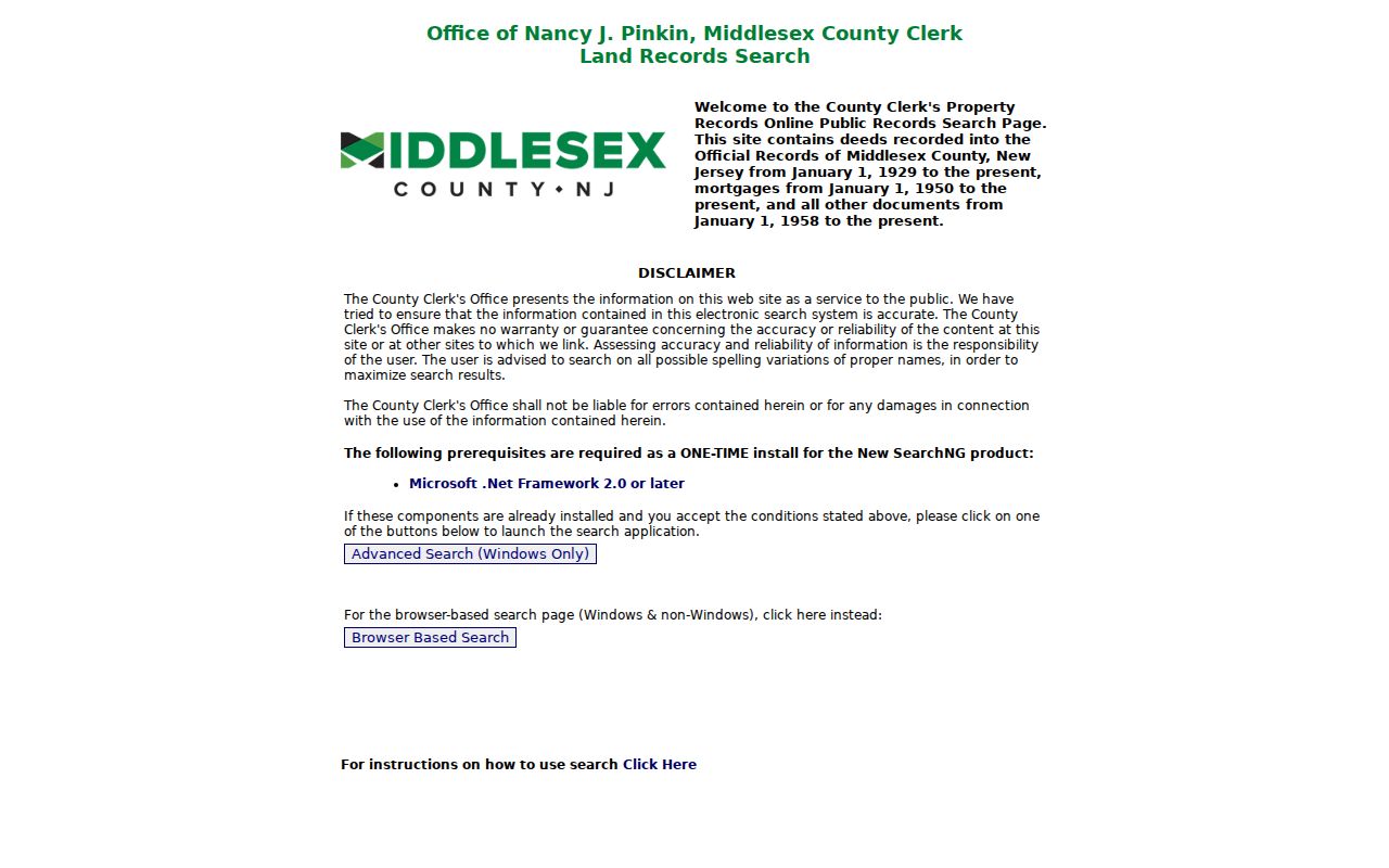
A recorded document is the stronger check for a transfer or legal description, while the surrounding block still needs its own dates, parcel identifiers, and privacy limits.